Vladimir J. Krajina (Port Chanal) Ecological Reserve
Vladimir J. Krajina (Port Chanal) Ecological Reserve is located on Haida Gwaii in the traditional territory of the Haida Nation. The ecological reserve was created in 1973 and covers 9,834 hectares.

Vladimir J. Krajina (Port Chanal) Ecological Reserve is a protected area on Haida Gwaii in BC.
Vladimir J. Krajina (Port Chanal) Ecological Reserve
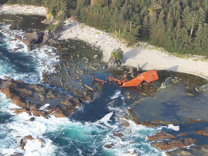
Located on the west slope of the Queen Charlotte Ranges, the reserve includes mountainous terrain to 825 m in elevation, 60 km of marine shoreline, two large islands, and a fjord (Port Chanal). Slopes facing the inlet are steep, while moderate to flat terrain occurs on the outer two-thirds of the peninsula between Port Chanal and Nesto Inlet and along Mace Creek. Shorelines are mostly steep and rocky with exposed headlands and frequent cliffs.
Beaches of shingle and mud occur at the head of Port Chanal at the mouth of Mercer Creek. Surficial materials include extensive colluvium on steep slopes, lesser areas of till on gentle slopes and alluvium in valley bottoms, plus organic materials and marine deposits. Soils of the forested slopes are mainly Podzols of moderate depth and medium to coarse texture.
Regosols and Gleysols occur on floodplains and organic soils in the boggy areas. One relatively large lake (Mercer Lake), several small lakes (one on Hippa Island), the entire watershed of Mace Creek, and several minor creeks are also within the reserve.
Overview provided by BC Parks