Estimated Reading time

7 Mins
Under the Stars: How Nuxalk Nation is Following Salmon Beneath the Surface
Nuxalk Nation are using sonar acoustic surveys to better understand the effects overfishing, climate change, and competition have on their returning salmon populations and to support the Nation’s Indigenous data sovereignty.
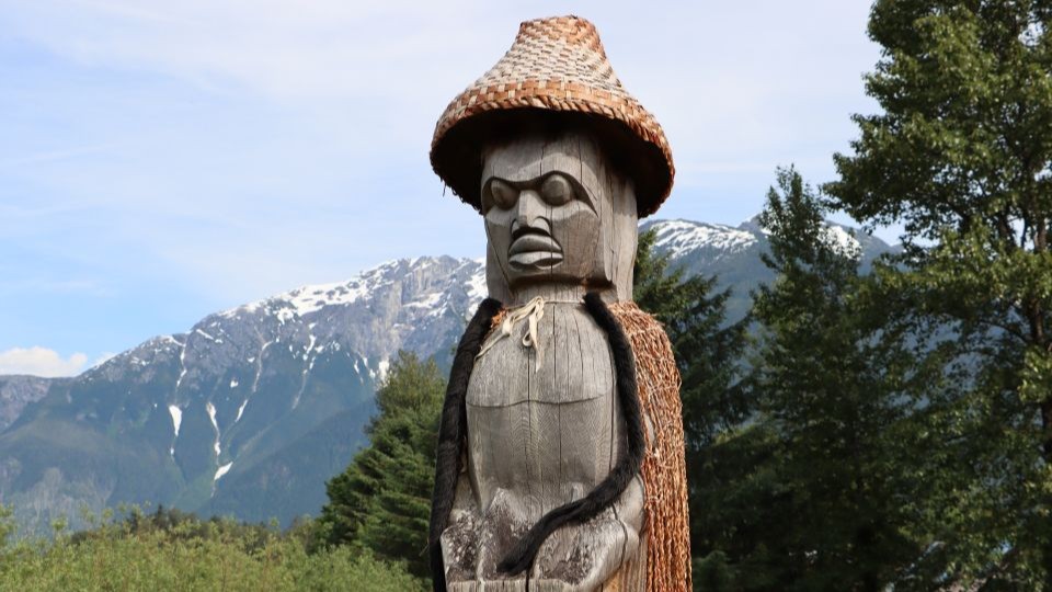
At the end of summer, while most community members are winding down for the evening, some staff at Nuxalk Stewardship Office are just beginning their work for the day. That’s when a team of researchers from Nuxalk Fisheries, Fisheries and Oceans Canada (DFO), and Skeena Fisheries Commission spend late nights travelling across remote lakes, collecting information using sonar equipment to help answer important questions about one of the Nation’s most valuable resources: salmon.
Working Under the Stars
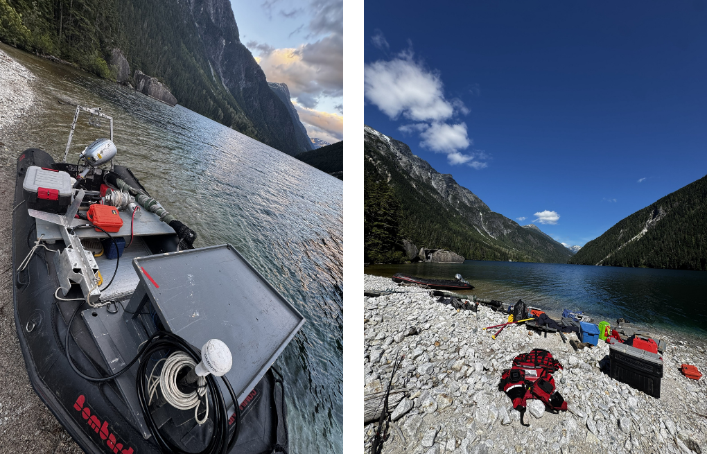
In August, when it’s time to conduct the sonar assessments, Rainwater Pootlass (Nuxalk Nation), Orlando Andt (Nuxalk Nation), Kate McGivney (DFO, Stock Assessment Division), and Janvier Doire (Skeena Fisheries Commission) make their way to the first campsite by float plane. Multiple float plane trips are required to transfer equipment to the remote lake but the work doesn’t end there.
Once camp is set up, the team prepare an inflatable boat and sonar equipment in time for their 9:30 p.m. start, just before sundown.
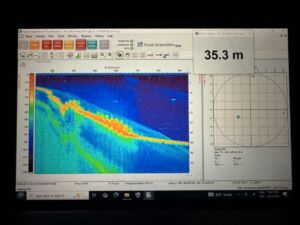
Sonar, short for ‘sound navigation and ranging’, uses sound waves to determine what’s below the lake’s surface. The sonar sends and receives sound waves in pulses that map out the lake floor and objects in the water, including fish. This highly sensitive tool is part of the reason why the survey is done at night – sonar is reactive to light, and the darkness allows for clearer readings.
Decked with headlamps and carrying glowing laptops in the dark, the team make their way to the first transect – a predetermined study area usually laid out in straight lines. Although it might look like a quiet night on the water, every pass across the transect areas collects information hidden beneath the surface.
“You get to see a different side of the lake during the night,” says Rainwater Pootlass, Salmon Coordinator for Nuxalk Nation. The surveys are conducted in some of Nuxalk’s most remote lakes, a stunning backdrop to the work. The night sky is full of light, explains Rainwater, “You can see the Little Dipper, shooting stars, and even satellites going by.”
Navigating in darkness, the team make passes over several transects in a precise order. “We go about two kilometres and then the sonar picks up little figures in the lake, as well as the slope and elevation change in the lake bed,” says Rainwater. All the while, the technicians are compiling this data for assessment after they get back to the lab. “This is repeated for each transect.”
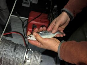
Once the transects are complete, the team uses an algae net to collect biological samples. These samples contribute to Nuxalk’s growing database of salmon genetics, age, and other measurable factors.
“We usually end the survey at 1 a.m., wake up by 8:30 a.m., pack and prepare for the next flight by midday to take us to the next survey site.”
Data Beneath the Surface
Following an initial pilot survey in 2007, the sonar acoustic project was paused for many years as limited staffing capacity and changing funding priorities made long-term monitoring difficult. When the surveys resumed in 2024, Nuxalk Fisheries designed the program to build a consistent dataset over several years.
“Once it was picked up in 2024, it was discussed to do the surveys over four to five years with breaks in between as there was a huge data gap between 2007-2024,” says Rainwater. “This also ensures the lakes get breaks, as we do not want the gas and trawling to make an impact on our watershed.”
2026 marks the team’s second year on the lakes in their four-year rotation. This year isn’t about finding all the answers, but about building a long-term, data-supported picture of the state of salmon in Nuxalk’s territory.
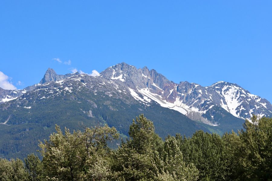
Researchers are particularly interested in understanding if juvenile salmon are changing where they mature and grow (also called rearing) before migrating to the ocean, and whether adult salmon are returning to their original spawning grounds.

“We’re trying to understand the population shift by combining existing research with sonar acoustic data to give Nuxalk Fisheries an understanding on climate struggles, fisheries pressure, and genetic changes,” says Rainwater.
Other programs, such as their newly operational fishwheel, contribute to Nuxalk’s holistic approach to data collection and salmon stewardship. The fishwheel, located along the rapid waters of the Bella Coola River, scoops fish up into a holding basket for assessment. Once the fish is assessed by a technician, the fish is released, unharmed, to carry on its journey to spawn.
Called “escapement data,” this information helps Nuxalk Fisheries set sustainable catch limits, forecast future population returns, and assess the health of the watershed.
Across British Columbia, research has shown there are several factors, including climate change, habitat destruction, and overfishing, that affect salmon populations in Nuxalk’s watershed, and across the Central Coast Region of British Columbia.
Researchers like Rainwater hope that contributing long-term sonar acoustic data will help explain how changing environmental conditions and industry pressures are influencing where salmon breed and return to spawn in Nuxalk territory.
Stewardship Through Knowledge
For thousands of years, Nuxalk people have stewarded their lands and waters, passing ecological knowledge from generation to generation. Today, that knowledge continues to guide stewardship alongside contemporary research practice, like acoustic sonar surveys.
After generations of research conducted on Indigenous territories without Indigenous control or consent, First Nations across Canada are increasingly leading their own monitoring programs and determining how their knowledge is collected, studied, and applied.
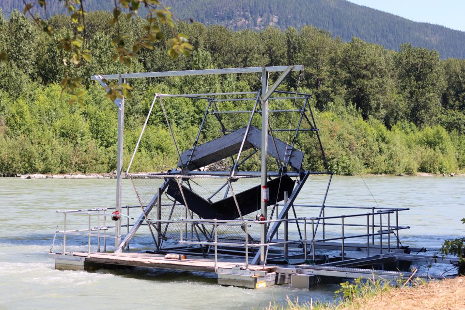
The data collected from sonar acoustic surveys and fishwheel operations are an essential part of Nuxalk Nation’s data sovereignty assets, supporting their self-determined conservation, stewardship, and community well-being priorities. This work does not replace the knowledge Nuxalk people have kept about their salmon for generations. Instead, the data add to that knowledge, providing supplementary evidence that strengthens the Nation’s ability to protect salmon and advocate for their continued return.
In the office, we always say, ‘Save Nuxalk salmon as they provide for us’.
“Understanding what is happening in the lakes will help Nuxalk management fight for more fishing closures,” explains Rainwater. “This data will help show the immense pressure coming from overfishing, climate change, competition in the oceans, estuaries, and sport and commercial fishing. This will then help Nuxalk Nation protect our salmon, seeing them come home and spawn rather than being caught by sport fishers, commercial fishers, and trawlers in Alaska and Northern BC.”
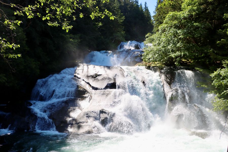
Nuxalk data sovereignty is the Nation’s fundamental right to control, access, interpret, and own data about their communities, culture, lands, and waters. Indigenous data sovereignty is supported through global agreements such as the United Nations Declaration on the Rights of Indigenous Peoples (UNDRIP) and provincial reconciliation frameworks, such as BC’s Declaration on the Rights of Indigenous Peoples Act (DRIPA), and Nuxalk Nation is implementing its data sovereignty in various ways, including through reclaiming information management and data collection as an active partner in the research process.
For Nuxalk Nation, this means the data gathered through the surveys directly support the Nation’s own stewardship priorities and decision-making, rather than existing within external institutions over which they have little if any control. Using their own data, Nuxalk Fisheries can advocate for conservation measures, strengthen fisheries management, and support healthy fish populations for years to come.
“Salmon Provide for Us”
For Rainwater and the acoustic sonar team, every evening spent on the lakes represents another step forward in upholding Nuxalk Nation’s inherent responsibility to care for and protect their lands, waters, animals, and community.
“In the office, we always say, ‘Save Nuxalk salmon as they provide for us’”.
Each survey adds a piece to the puzzle, helping Nuxalk Fisheries better understand salmon populations and make informed decisions for their future, influencing food security for their communities, strengthening data sovereignty for their Nation, and protecting the natural abundance of their beautiful territory.
Through Coast Funds’ Conservation Fund, Nuxalk Nation invested $150,000 in 2026 to support salmon stock assessments in the Bella Coola and Atarnko Rivers using fish wheels and other surveying methods, supporting the Nation’s holistic salmon stewardship programs.