Land and Marine Use Agreements
North and Central Coast Land and Resource Management Plans
The North Coast and Central Coast Land and Resource Management Plans are sub-regional land use plans that make recommendations to the province regarding the management of public lands and resources. The recommendations represent consensus agreements reached by participants of the planning tables, including multiple stakeholders (forest industry, environmental groups, local communities, small business, recreation, etc.), local and provincial government representatives, and in some cases representatives from the area’s First Nations. First Nation representatives participated at the table, but abstained from decision making in consideration of government-to-government discussions between First Nations and the Province of British Columbia on these recommendations.
Coast Land Use Decision Implementation
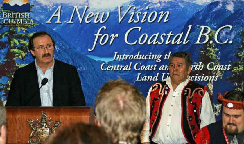
Following over a decade of negotiations between multiparty stakeholders, consensus recommendations for land use in the Central Coast and North Coast were announced on February 7, 2006. The decision covers an area of approximately 6.4 million hectares, or more than twice the size of Belgium. The total combined protected areas for these regions are approximately two million hectares, more than twice the size of Yellowstone National Park in the United States.
The decision protects one of the world’s greatest ecological gems while balancing the needs of the environment with the needs of the people who depend upon the land for their livelihoods and way of life. Vast areas of temperate coastal rainforest are protected, including the largest intact temperate rainforest left on earth, which is home to thousands of species of plants, birds and animals. There are 1,000 year old cedar trees and tall Sitka spruce lining rich salmon streams that weave through valley bottoms, providing food for orcas, black bears, grizzlies, and eagles. The region is also home to the rare Spirit Bear, the Province’s official mammal.
Highlights of this land use planning decision include:
- A government-to-government Land and Resource Forum established to jointly implement land use agreements.
- On January 21, 2007, the federal government, BC government and private non-profit organizations agreed to commit $120 million to support Coast The fund is aimed at preserving the integrity of the Great Bear Rainforest for generations to come and at promoting economic development opportunities for First Nations.
- In July and December 2007, the Province introduced the new legal framework for the Central and North Coast of BC that establishes EBM for forest operations.
- All 114 conservancies covering approximately 1.37 million hectares have been established on the Central Coast and North Coast planning regions, which brings the area of total protection on the coast to approximately 2 million hectares.
- Strategic Land Use Planning Agreements for the Central and North Coast of British Columbia have been signed with over 20 First Nations.
For the plan overview, information, orders and amendments,
see the Coast Land Use Decision Implementation.
Haida Gwaii Strategic Land Use Agreement Implementation

Sustainably managing Haida Gwaii’s forest resources by balancing cultural, ecological, social and economic objectives is at the heart of the Haida Gwaii Land Use Objectives Order. The order was legally established by ministerial order in December 2010, instituting ecosystem-based management on Haida Gwaii by setting new standards for the management of:
- Haida traditional heritage and forest features, culturally modified trees, cedar and yew
- Aquatic habitats including fish habitat, active fluvial units, upland stream areas and sensitive watersheds
- Forested swamps and several plant communities
- Black bear dens, as well as marbled murrelet, goshawk, great blue heron and saw-whet owl habitat
The land use objectives were established under Haida Stewardship Law and BC’s land use objectives regulation. All existing forest stewardship and woodlot licence plans on Haida Gwaii were to conform to the new land use objectives by June 2011. The Haida Gwaii Land Use Objectives Order was a direct outcome of the 2007 Haida Gwaii Strategic Land Use Agreement.
On September 21, 2017, the Haida Gwaii Management Council established a major amendment to the 2010 order, which had previously been amended in 2014. These amendments indicated that the Haida Gwaii Management Council has legal authority under the Haida Gwaii Reconciliation Act to amend orders and establish new orders.
For more information, see the Haida Gwaii Land Use Objectives Minor Amendment Order (2014).
Great Bear Rainforest Land Use Objectives Order
The new 2016 Great Bear Rainforest Land Use Objectives Order was legally established on January 28, 2016 upon publication in the The British Columbia Gazette.
This new order replaces the orders for the South Central Coast area and the Central and North Coast area (established on July 27, 2007 and December 19, 2007 respectively). The new order supports and continues the implementation of Ecosystem Based Management in the Great Bear Rainforest. The order sets forest management requirements via the establishment of land use objectives that must be adhered to by all major forest licence holders operating in the Great Bear Rainforest, pursuant to Section 93.4 of the Land Act for the purposes of the Forest and Range Practices Act. These objectives address First Nations cultural heritage resources, freshwater ecosystems, landscape and stand level biodiversity and wildlife.
For more information, see the 2016 Great Bear Rainforest Land Use Objectives Order.
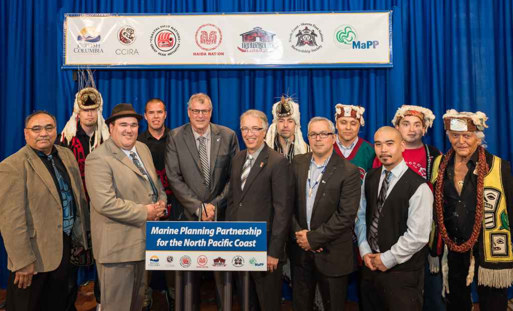
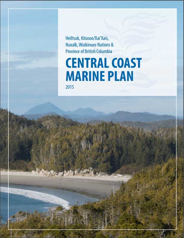
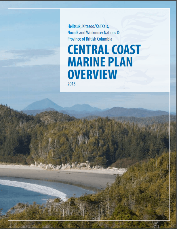
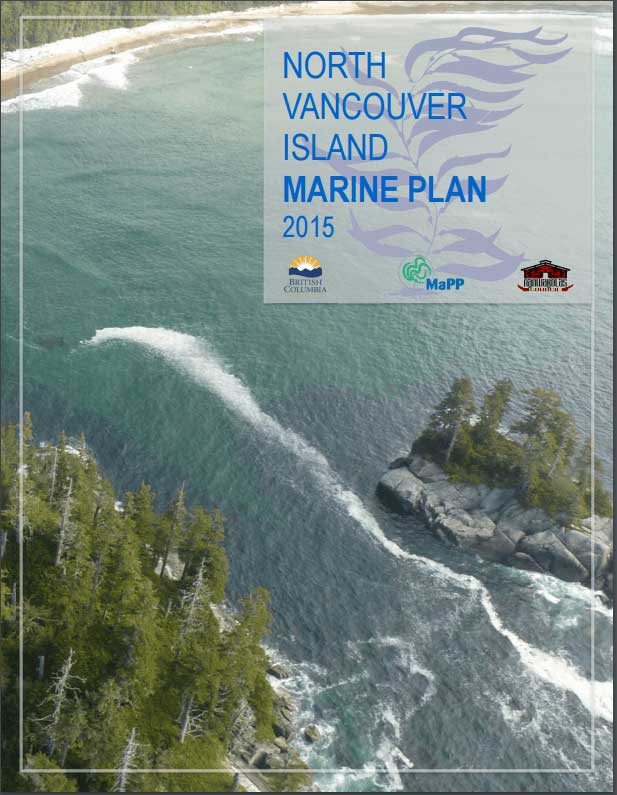
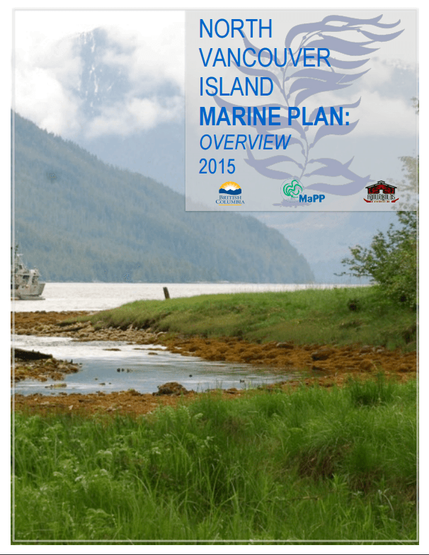
Marine Planning Partnership for the North Pacific Coast (MaPP)
The Marine Plan Partnership for the North Pacific Coast (MaPP) (2011-2015) was a co-led process between 18 First Nations and the Province of British Columbia that developed plans for marine uses on BC’s North Pacific Coast, now and into the future. The MaPP initiative is notable also for the diversity of stakeholders it brought together and the number of marine uses, activities, and values it addressed.
MaPP is comprised of four separate but complementary sub-regional marine plans – Central Coast, Haida Gwaii, North Coast, and North Vancouver Island – that were developed collaboratively by all partners and were shaped by robust stakeholder advisory processes and engagement with coastal residents and other members of the public. This included public meetings, consultation with stakeholders from a variety of marine sectors, and guidance from the marine science and technical communities.
The result is a set of innovative marine plans that will advance human well-being, economic opportunities, and ocean conservation in a region boasting globally significant ecosystems. The MaPP marine plans include:
- Management objectives and strategies that support positive change and reinforce our approach to decision-making, stewardship, economic development, and healthy coastal communities
- Spatial zoning that identifies marine areas for special uses, protection and general use
- Plan implementation, monitoring and amendment information which describes how we will move forward with the plans and how changes can be made
The Province and First Nations have been conducting resource planning in this area for many years, and extending this collaborative relationship to marine and coastal areas will improve consistency in the approach to resource management for the entire region. The partners are now focused on drafting implementation agreements for future action.
For more information, see Marine Planning Partnership (MaPP).